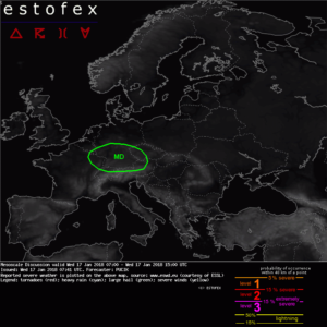
Current ESTOFEX Convective Forecasts – ESTOFEX – Mesoscale Discussion
Mesoscale Discussion
Valid: Wed 17 Jan 2018 07:00 to Wed 17 Jan 2018 15:00 UTC
Issued: Wed 17 Jan 2018 07:41Forecaster: PUCIK
DISCUSSION
Ahead of a fast moving mid tropospheric trough, a synoptic scale ascent, together with cooling around 500 hPa results in steepening lapse rates and marginal CAPE build up. 00 UTC soundings confirm lapse rates around 7 K/km over much of the region. As of now, scattered thunderstorms are ongoing. As 850 hPa flow reaches 20 to 25 m/s, 0-1 km bulk shear will be on the order of 10 – 15 m/s. In such conditions, an isolated event of a tornado or severe wind gust can not be ruled out. Small hail will also accompany any storm. Threat will gradually shift towards SE and will be largely over by 15 UTC as the trough crosses the Alpine range.Creative Commons License


Schreibe einen Kommentar